 http://www.nzs.com/new-zealand-maps/
Geography, cartography, news on maps, online maps and route planners from around the world.
Saturday, November 29, 2008
Tuesday, November 25, 2008
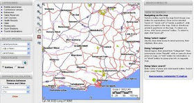
South Africa road map
Road map of South Africa with search option and distance calculator. Zoomable to street level to show hotels, restaurants, health resorts, tourist destinations and others.
 http://www.c2a.co.za/
 http://www.c2a.co.za/
Sunday, November 23, 2008
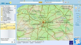
France interactive map
Route planner and interactive map of France. Hidrographic, relief, satellite image, aerial view and other layers, search option.
 http://www.geoportail.fr/visu2D.do?ter=metropole
 http://www.geoportail.fr/visu2D.do?ter=metropole
Wednesday, November 19, 2008
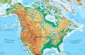
North America physical map
North and Central America physical map, including the United States and Canada, shows the variety of land elevations on the continent.
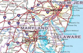
United States Highway Map including: State Capitals, Cities, US Interstates (numbered), US Highways (numbered), Major Freeways, Highways, and Toll Roads, Major Lakes & Rivers, Time Zones, Insets of Hawaii and Alaska .
 http://usa.zoom-maps.com/

Click to enlarge
United States Highway Map including: State Capitals, Cities, US Interstates (numbered), US Highways (numbered), Major Freeways, Highways, and Toll Roads, Major Lakes & Rivers, Time Zones, Insets of Hawaii and Alaska .
 http://usa.zoom-maps.com/
Friday, November 14, 2008
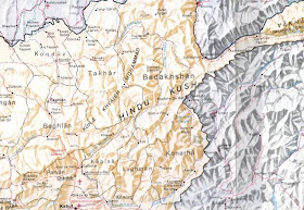
Afghanistan relief map
Map of Afghanistan with shaded relief. 4 sheets.
 http://www.globalsecurity.org/military/world/afghanistan/large-map.htm
 http://www.globalsecurity.org/military/world/afghanistan/large-map.htm

