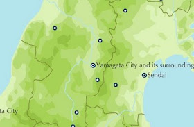
 http://www.jnto.go.jp/eng/map/index.html
Geography, cartography, news on maps, online maps and route planners from around the world.
Tuesday, December 16, 2008
Sunday, December 7, 2008
Saturday, November 29, 2008
Tuesday, November 25, 2008
South Africa road map
Road map of South Africa with search option and distance calculator. Zoomable to street level to show hotels, restaurants, health resorts, tourist destinations and others.
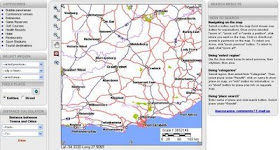 http://www.c2a.co.za/
 http://www.c2a.co.za/
Sunday, November 23, 2008
France interactive map
Route planner and interactive map of France. Hidrographic, relief, satellite image, aerial view and other layers, search option.
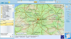 http://www.geoportail.fr/visu2D.do?ter=metropole
 http://www.geoportail.fr/visu2D.do?ter=metropole
Wednesday, November 19, 2008
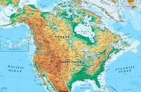
North America physical map
North and Central America physical map, including the United States and Canada, shows the variety of land elevations on the continent.
United States Highway Map including: State Capitals, Cities, US Interstates (numbered), US Highways (numbered), Major Freeways, Highways, and Toll Roads, Major Lakes & Rivers, Time Zones, Insets of Hawaii and Alaska .
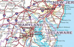 http://usa.zoom-maps.com/

Click to enlarge
United States Highway Map including: State Capitals, Cities, US Interstates (numbered), US Highways (numbered), Major Freeways, Highways, and Toll Roads, Major Lakes & Rivers, Time Zones, Insets of Hawaii and Alaska .
 http://usa.zoom-maps.com/
Friday, November 14, 2008
Afghanistan relief map
Map of Afghanistan with shaded relief. 4 sheets.
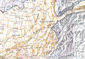 http://www.globalsecurity.org/military/world/afghanistan/large-map.htm
 http://www.globalsecurity.org/military/world/afghanistan/large-map.htm
Tuesday, November 11, 2008
Saturday, November 1, 2008
Tuesday, October 28, 2008
Angola satellite image
Satellite image of Angola.
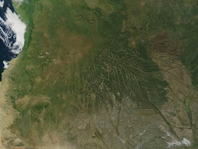 http://visibleearth.nasa.gov/view_rec.php?id=2662
The African country of Angola has diverse topography, ranging from flat Atlantic coastal plain to the interior highland plateau, which exhibits a highly dendritic river drainage pattern. This MODIS image from May 11, 2001 shows there is clearly more vegetation on the northern portions of the coastal plain than the southern. The vegetation fades rapidly south of the city of Benguela, about a third of the way down from the top of the image. South of the city, the coastal area is under the influence of the cool waters of the Benguela Current, an area of cold water upwelling along the south west coast of Africa. The cooler water produces less evaporation and subsequent rainfall, which makes the vegetation less lush.
Tuesday, October 21, 2008
Thursday, September 4, 2008
Middle East relief map
South-western Asia relief map. (Iraq, Syria, Israel, Lebanon, Jordan)
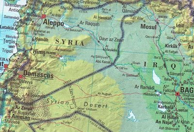 http://www.maravot.com/Israel-Iraq.jpg
 http://www.maravot.com/Israel-Iraq.jpg
Wednesday, August 13, 2008
Wednesday, July 23, 2008
Tuesday, July 22, 2008
Sunday, April 20, 2008
Saturday, March 1, 2008
Tuesday, February 26, 2008
Mexico state maps
31 interactive Mexico state & D.F. maps each in 16 zoomable sections.
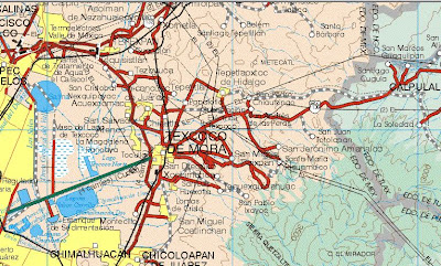 http://www.maps-of-mexico.com/mexico_states.shtml
 http://www.maps-of-mexico.com/mexico_states.shtml
Thursday, February 21, 2008
Monday, February 18, 2008
Thursday, February 14, 2008
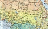
Africa map 1.
Interactive political map of Africa with shaded relief.
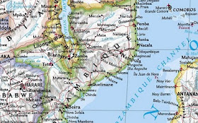 http://africa.zoom-maps.com/
Africa political map with shaded relief.
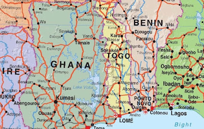 http://68.178.233.117/MPcomp/2006.files/maps/Africa.jpg
More maps of Africa
 http://africa.zoom-maps.com/
Africa political map with shaded relief.
 http://68.178.233.117/MPcomp/2006.files/maps/Africa.jpg
Saturday, February 9, 2008
Tuesday, February 5, 2008
Monday, February 4, 2008
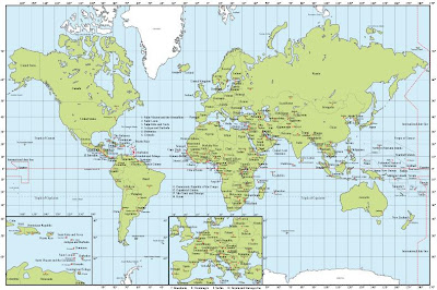
Blank country maps
Blank and printable maps of different regions of the world.
 http://english.freemap.jp/
World map collection
 http://english.freemap.jp/
Thursday, January 31, 2008
Sunday, January 27, 2008
Finland road map
Road map of Finland in sheets.
Road transport in Finland is the most popular method of transportation, particularly in rural areas where the railway network does not extend to. As of 2011 there are 78,162 kilometres of public roads, of which 51,016 kilometres are paved. The main road network comprises over 13,329 kilometres of road. (wp)
Monday, January 21, 2008
Friday, January 18, 2008
Wednesday, January 16, 2008
Tuesday, January 15, 2008
Wednesday, January 9, 2008
Monday, January 7, 2008
Thursday, January 3, 2008
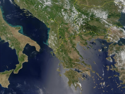
Greece satellite image
Satellite image of Greece.
This true-color image acquired from MODIS on June 6, 2001, shows Greece along with its neighboring countries: Italy, Albania, Macedonia, and Turkey, from left to right respectively.
 http://visibleearth.nasa.gov/view_rec.php?id=1982
More maps of Greece
This true-color image acquired from MODIS on June 6, 2001, shows Greece along with its neighboring countries: Italy, Albania, Macedonia, and Turkey, from left to right respectively.
 http://visibleearth.nasa.gov/view_rec.php?id=1982


