Wednesday, January 28, 2009

Southern California road map

Large road map of Southern California.

Click to enlarge

United States Highway Map including: State Capitals, Cities, US Interstates (numbered), US Highways (numbered), Major Freeways, Highways, and Toll Roads, Major Lakes & Rivers, Time Zones, Insets of Hawaii and Alaska .

 
Another old road map of Southern California including Los Angeles, San Diego and Santa Barbara.


Friday, January 23, 2009

Australia road system

Map of Australia with main roads.

Click to enlarge

Download full-res PDF here.

Friday, January 16, 2009

Wednesday, January 14, 2009

Brazil road map

Main road system of Brazil.

Click to enlarge

Zoomable physical map of South America:


Source

Friday, January 9, 2009

Indonesia physical map

Physical map of Indonesia in sheets. Click on the picture to zoom.

http://www.seasite.niu.edu/indonesian/indonesian-map/indo-map-fs.htm

Thursday, January 8, 2009

Egypt map

Physical map of Egypt.

Click to enlarge

Wednesday, January 7, 2009

Sunday, January 4, 2009

Ukraine road map

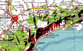
Road map of Ukraine in sheets.

The scale of the map is 1:1,000,000 at a scanned resolution of 150 dpi. Each Individual Map Grid is 600 pixels high by 600 pixels wide and in the GIF Format.

http://www.infoukes.com/ua-maps/road-map/