This is how continents will look if all the ice on land has melted
and drained into the sea, raising it 216 feet. Creating new shorelines,
one of the effects of sea level rise.
Physical map of Asia. Asia is the largest and most populous region or continent depending on the definition. It is traditionally defined as part of the landmass of Africa-Eurasia lying east of the Suez Canal, east of the Ural Mountains, and south of the Caucasus Mountains and the Caspian and Black Seas.
Physical map of Eurasia. Eurasia refers to the combined land mass of Europe and Asia. Eurasia is alternatively considered to be a continent, or a supercontinent composed of the continents of Europe and Asia.
This is an old physical map of South Asia from 'Companion Atlas to the Gazetteer of the World', published by A. Fullarton, Edinburgh, 1859. Four sheets.
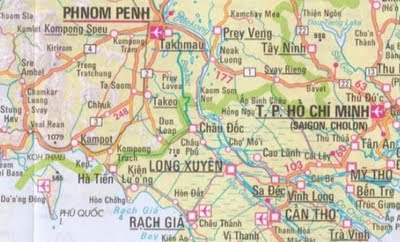
Physical map of Southeast Asia. Southeast Asia is a subregion of Asia, consisting of the countries that are geographically south of China, east of India, west of New Guinea and north of Australia. The region lies on the intersection of geological plates, with heavy seismic and volcanic activity. (Wikipedia)
Zoomable travel map of Southeast Asia with roads and shaded relief. Countries: Myanmar, Laos, Vietnam, Thailand, Cambodia, Malaysia, Brunei, Taiwan, Indonesia, Philippines, East Timor. Map by Nelles Verlag.


 http://onlinemaps.byethost33.com/pages/asia/southeast-asia.php
 http://www.maravot.com/Israel-Iraq.jpg


