Click to enlarge
By en:User:Alanmak Alan Mak [GFDL or CC-BY-SA-3.0, via Wikimedia Commons
Mount Everest, measuring from sea level, is the tallest mountain on Earth. The summit ridge of the mountain marks the border between Nepal and Tibet. In Nepal the mountain is called Sagarmatha (forehead of the sky) and in Tibet Chomolangma (mother of the universe); and although it was named Everest by Sir Andrew Waugh, the British surveyor-general of India, in honour of his predecessor Sir George Everest, the popular pronunciation of Everest is different from how Sir George pronounced his own last name.
 |
| Mount Everest location (click to enlarge) |
 |
| Click to enlarge |

Finland is the northernmost country on the European continent. Although other countries have points extending north, virtually all of Finland is north of 60 degrees north latitude; nearly a quarter of the land area and fully one-third of the latitudinal extent of the country lie north of the Arctic Circle. (wp)
 http://andes.zoom-maps.com/
 http://www.bjelasica-komovi.com/files/maps/Montenegro_map.jpg
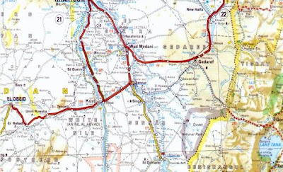 http://www.geocities.com/Athens/Atlantis/7088/Sudan_Maps/Sudan_Maps.htm
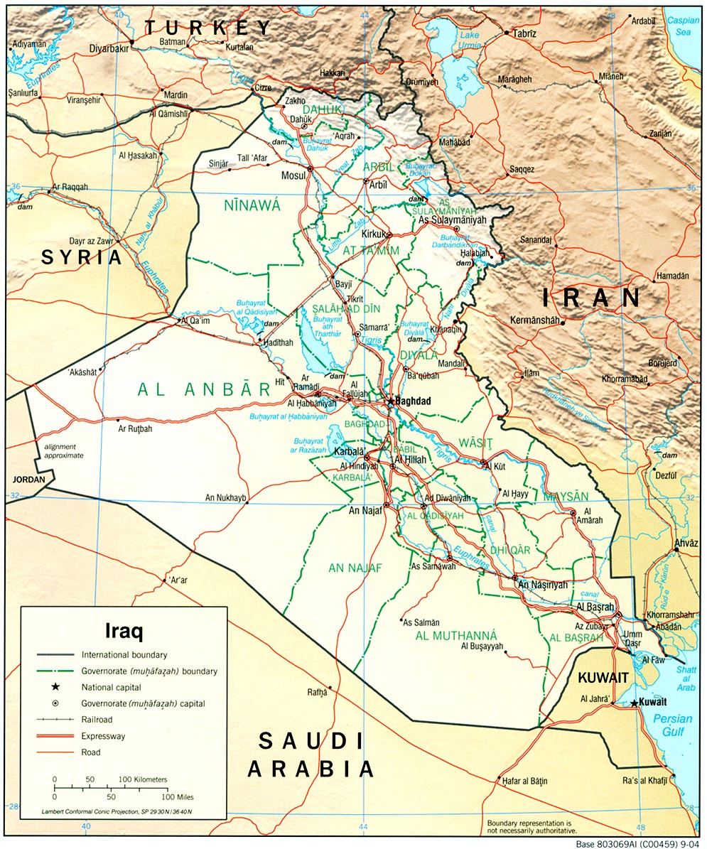 http://philbrgysocietyinnigeria.files.wordpress.com/2008/11/iraq_rel_2004.jpg
 http://www.ethioembassy.org.uk/tourism/contents/Map%20of%20Ethiopia.htm
 http://getamap.ordnancesurvey.co.uk/getamap/frames.htm