 http://library.wur.nl/WebQuery/isric/20370
Geography, cartography, news on maps, online maps and route planners from around the world.
Wednesday, September 30, 2009
Tuesday, September 29, 2009
Monday, September 28, 2009
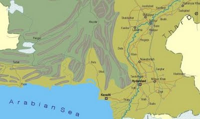
Pakistan map
Map of Pakistan with main roads, cities and mountains.
 http://www.rolandziegler.de/Railtours/pakistan96/maps/pakistan-l.gif
 http://www.rolandziegler.de/Railtours/pakistan96/maps/pakistan-l.gif
Sunday, September 27, 2009
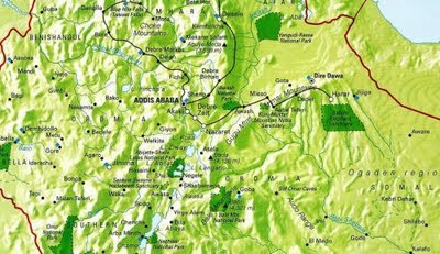
Ethiopia relief map
Map of Ethiopia with shaded relief.
 http://www.ethioembassy.org.uk/tourism/contents/Map%20of%20Ethiopia.htm
 http://www.ethioembassy.org.uk/tourism/contents/Map%20of%20Ethiopia.htm
Wednesday, September 16, 2009
Tuesday, September 15, 2009
Monday, September 14, 2009
Saturday, September 12, 2009
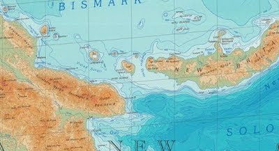
Papua New Guinea physical map
Physical map of Papua New Guinea.
 http://education.usgs.gov/common/resources/mapcatalog/images/international/east_asia7_11x14.jpg
 http://education.usgs.gov/common/resources/mapcatalog/images/international/east_asia7_11x14.jpg
Friday, September 11, 2009
Thursday, September 10, 2009
Wednesday, September 9, 2009
Tuesday, September 8, 2009
Monday, September 7, 2009
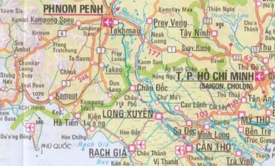
Southeast Asia travel map
Zoomable travel map of Southeast Asia with roads and shaded relief.
Countries: Myanmar, Laos, Vietnam, Thailand, Cambodia, Malaysia, Brunei, Taiwan, Indonesia, Philippines, East Timor. Map by Nelles Verlag.
 http://onlinemaps.byethost33.com/pages/asia/southeast-asia.php
Countries: Myanmar, Laos, Vietnam, Thailand, Cambodia, Malaysia, Brunei, Taiwan, Indonesia, Philippines, East Timor. Map by Nelles Verlag.
 http://onlinemaps.byethost33.com/pages/asia/southeast-asia.php
Sunday, September 6, 2009
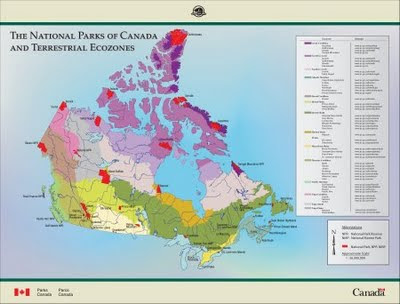
Canada National Parks
Canada's National Parks and Terrestrial Ecozones Map
 http://www.pc.gc.ca/apprendre-learn/prof/itm2-crp-trc/htm/ecozonesimage_e.asp
 http://www.pc.gc.ca/apprendre-learn/prof/itm2-crp-trc/htm/ecozonesimage_e.asp
Labels:
Canada
Thursday, September 3, 2009
Subscribe to:
Comments (Atom)


