Monday, April 30, 2012

South Carolina county map

Map of South Carolina counties. South Carolina is a southern state in the United States. South Carolina was one of the thirteen colonies that revolted against British rule in the American Revolution. The state is named after King Charles I of England.

Wednesday, April 18, 2012

Mississippi county map

County map of Mississippi.

Click to enlarge

Boston Bus Map

Rapid transit and key bus routes in Boston, Massachusetts.
Boston, city, capital of the commonwealth of Massachusetts, and seat of Suffolk county, in the northeastern United States. (EB)

Click to enlarge

Tuesday, April 17, 2012

Europe Rail Map

Detailed rail map of Europe. Rail networks in Western and Central Europe are often well maintained and well developed, whilst Eastern and Southern Europe often have less coverage and infrastructure problems.

Click to download (PDF, 14 MB)

Indiana County Map

Counties of Indiana. Indiana is a US state, admitted to the United States as the 19th on December 11, 1816. It is located in the midwestern and Great Lakes regions of North America.

Click to enlarge

African political map

Political map of Africa (2003). Africa is the world's second-largest and second-most-populous continent.

Click to enlarge

Sunday, April 15, 2012

Antarctic Region Map

Map of Antarctica with research stations and ice shelfs.
Click to enlarge

Michigan County Map

Map of Michigan with counties.
Click to enlarge

Saturday, April 14, 2012

Blank Canada Map

Blank map of Canada with administrative divisions.

Click to enlarge

Western European map

Political map of Western Europe.
Click to enlarge

Friday, April 13, 2012

Arctic claims

National claims to the Arctic shelf. Six countries are working on bids to establish their continental shelf borders.
Click to enlarge

The United States failed to ratify the UN Convention on the Law of the Sea and therefore cannot file a bod for border establishment.

Ria Novosti Infographics

Florida County Map

County Map of Florida.
Click to enlarge

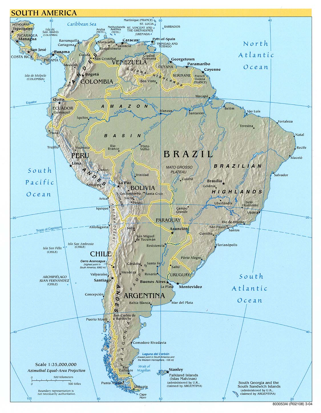
Latin America political map

Political map of Latin America.
Click to enlarge

Thursday, April 12, 2012

Canada and US Watersheds

This Watersheds of North America map shows the major North American watersheds, which drain into the Atlantic Ocean, Hudson Bay, the Arctic Ocean, the Pacific Ocean, the Gulf of Mexico and the Caribbean Sea.
Click to enlarge (large file)

Detailed Map of America

Detailed political map of North America with countries, states, capitals, major cities, lakes and rivers.
Click to enlarge

Wednesday, April 11, 2012

Southeast Asia physical map

Physical map of Southeast Asia. Southeast Asia is a subregion of Asia, consisting of the countries that are geographically south of China, east of India, west of New Guinea and north of Australia. The region lies on the intersection of geological plates, with heavy seismic and volcanic activity. (Wikipedia)
Click to enlarge

Harris County Map

Map of Harris County (Texas) with shaded relief.

Click to enlarge

Tuesday, April 10, 2012

Monday, April 9, 2012

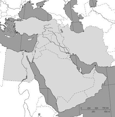
Blank map of Middle East

Blank map of Middle East countries with country borders, and major lakes and rivers.
middle east blank map
Click to enlarge

Saturday, April 7, 2012

Friday, April 6, 2012

North Carolina County Map

Counties of North Carolina.
North Carolina is a state in the Southeastern United States. It was one of the original Thirteen Colonies, and the home of the first English colony in the Americas. Today, it is a fast-growing state with an increasingly diverse economy and population. (wp)
Click to enlarge

Thursday, April 5, 2012

Grand Canyon map: South Rim

Map of Grand Canyon South Rim.

http://www.klaustueshaus.com/travel/usa1989/day11/8911_laz_021_grand_canyon_village_map.jpg

Grand Canyon Village shuttle bus routes, points of interest, and parking on the South Rim.

http://grand-canyon-park.org/wp-content/uploads/2014/01/Grand-Canyon-Shuttle-Bus-Map.pdf

Tuesday, April 3, 2012

England map with cities

Map of England with main roads and cities.
Click to enlarge

Monday, April 2, 2012

Colorado county map

County map of Colorado with county names and borders.
Click to enlarge

Chicago Area Map

Road map of Chicago neighborhoods.
Click to enlarge

Sunday, April 1, 2012

Africa map with capitals

Political map of Africa with capitals and major cities. With over 800 million human inhabitants in 54 countries, it accounts for about one seventh of the world human population.
Click to enlarge

New York metro map

Map of New York's subways. The New York City Subway is the fourth busiest rapid transit rail system in the world in annual ridership, after Tokyo's, Moscow's, and Seoul's rapid transit systems, and the busiest in the Americas. (Wikipedia) 
Click to enlarge