
Click to enlarge
By en:User:Alanmak Alan Mak [GFDL or CC-BY-SA-3.0, via Wikimedia Commons

The topography of China has been divided by the government into 5 homogeneous physical macro-regions, namely Eastern China (subdivided into the northeast plain, north plain, and southern hills), Xinqiang-Mongolia, and the Tibetan-highlands. It is diverse with snow-capped mountains, deep river valleys, broad basins, high plateaus, rolling plains, terraced hills, sandy dunes, craggy karsts, volcanic calderas, low-latitude glaciers and other landforms present in myriad variations. (wp)
Mount Everest, measuring from sea level, is the tallest mountain on Earth. The summit ridge of the mountain marks the border between Nepal and Tibet. In Nepal the mountain is called Sagarmatha (forehead of the sky) and in Tibet Chomolangma (mother of the universe); and although it was named Everest by Sir Andrew Waugh, the British surveyor-general of India, in honour of his predecessor Sir George Everest, the popular pronunciation of Everest is different from how Sir George pronounced his own last name.
 |
| Mount Everest location (click to enlarge) |
The dispute is over uninhabited islands known by Japan as the Senkaku and China as the Diaoyu. Japanese officials announced last week that the government would buy three of the islands from the Japanese family that has controlled them for decades. China argues that they were an integral part of its territory for centuries, and were illegally occupied by Japan. (Los Angeles Times)
 |
| Location of the islands |
 |
| Click to enlarge |


 http://www.map.hu/galeria/20081129212912.jpg
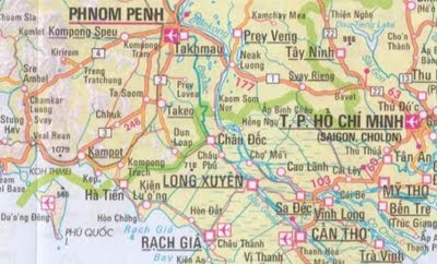 http://onlinemaps.byethost33.com/pages/asia/southeast-asia.php


