Online Maps
Geography, cartography, news on maps, online maps and route planners from around the world.
Sunday, November 23, 2008
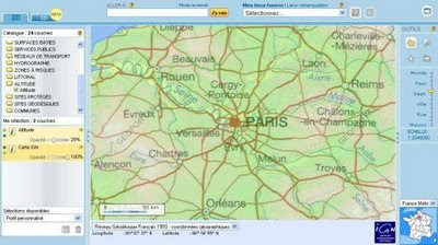
France interactive map
Route planner and interactive map of France. Hidrographic, relief, satellite image, aerial view and other layers, search option.
http://www.geoportail.fr/visu2D.do?ter=metropole
No comments:
Post a Comment
Newer Post
Older Post
Home
Subscribe to:
Post Comments (Atom)
LinkWithin
 http://www.geoportail.fr/visu2D.do?ter=metropole
http://www.geoportail.fr/visu2D.do?ter=metropole
http://www.geoportail.fr/visu2D.do?ter=metropole
No comments:
Post a Comment