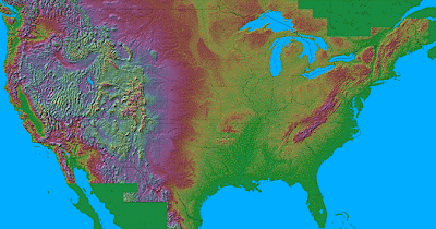
The maps use false-color 3-D shading to show changes of altitude, somewhat as if you were viewing the relief from a satellite. The maps are quite spectacular and very instructive; if you study a part of the country that you thought you knew intimately, you'll see all sorts of things you hadn't noticed before.
 http://birrell.org/andrew/reliefMaps/
No comments:
Post a Comment