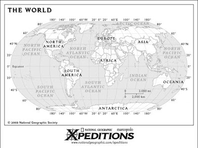
Printable maps of the continents and countries with different level of detail. The maps can be downloaded in gif and pdf format.
 http://www.nationalgeographic.com/xpeditions/atlas/index.html
 http://www.nationalgeographic.com/xpeditions/atlas/index.html
No comments:
Post a Comment